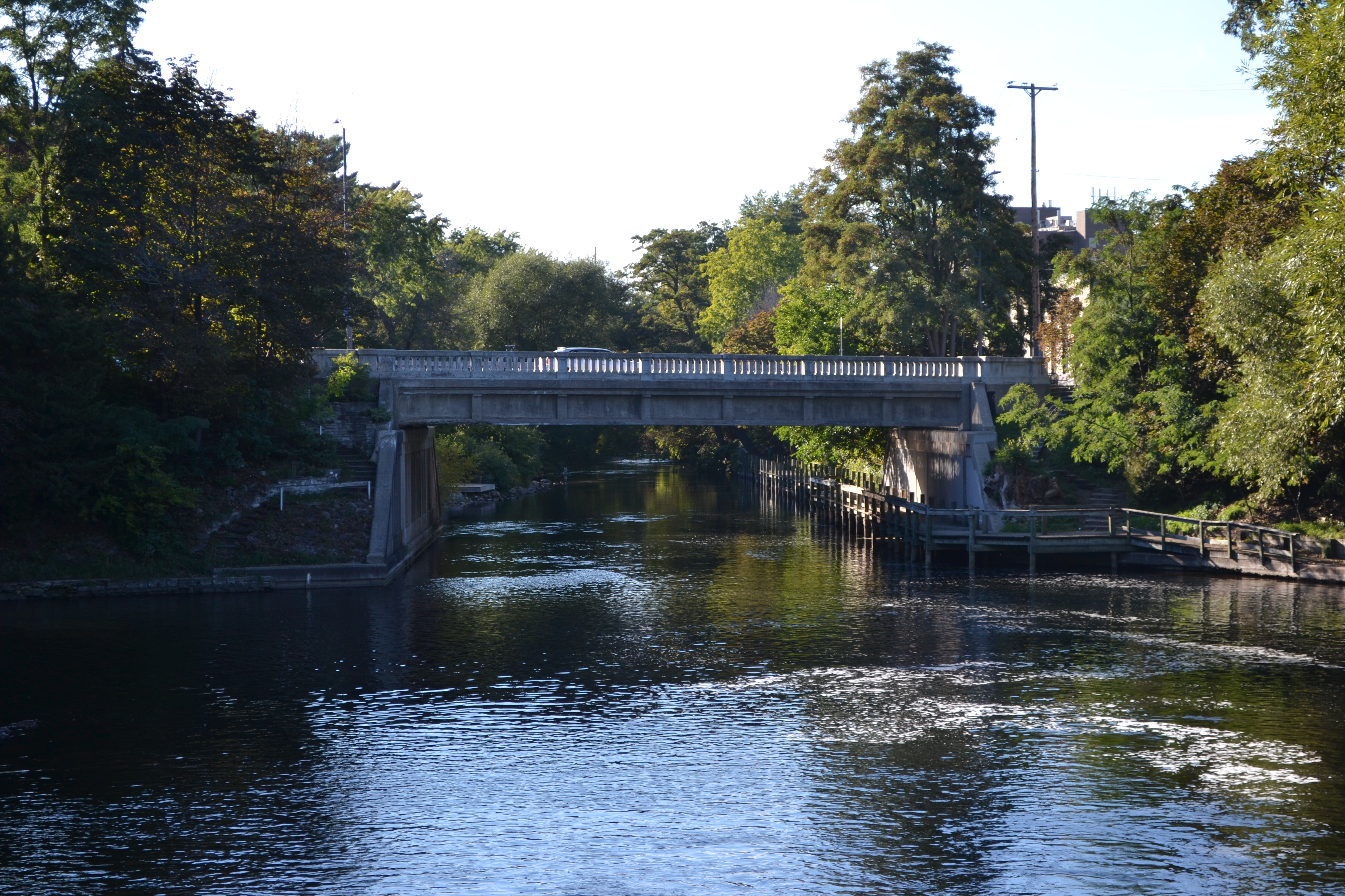
The nearly 300 square mile Boardman River watershed is located in Grand Traverse and Kalkaska Counties in northwest Michigan. With the exception of the extreme lower river and three impoundments, the Boardman is an oligotrophic river system with excellent water quality characterized by cold temperatures, high dissolved oxygen concentrations, and nutrients provided by allochthonous inputs. Of the approximately 179 miles of river and tributary streams in the Boardman system, 36 miles are designated as “Blue Ribbon” trout streams, providing premier fish habitat. Anglers from near and far come to enjoy the predominantly resident brook and brown trout fishery, providing important economic benefits to the region. The entire watershed is also used for activities such as canoeing, tubing, kayaking, hiking, hunting, and bird watching. These uses make it a destination for an estimated 2 million Recreational User Days annually.
The nearly 300 square mile Boardman River watershed is located in Grand Traverse and Kalkaska Counties in northwest Michigan. With the exception of the extreme lower river and three impoundments, the Boardman is an oligotrophic river system with excellent water quality characterized by cold temperatures, high dissolved oxygen concentrations, and nutrients provided by allochthonous inputs. Of the approximately 179 miles of river and tributary streams in the Boardman system, 36 miles are designated as “Blue Ribbon” trout streams, providing premier fish habitat. Anglers from near and far come to enjoy the predominantly resident brook and brown trout fishery, providing important economic benefits to the region. The entire watershed is also used for activities such as canoeing, tubing, kayaking, hiking, hunting, and bird watching. These uses make it a destination for an estimated 2 million Recreational User Days annually.
However, a series of four decommissioned hydroelectric dams limit fishery movement, and therefore fishery potential, throughout the Boardman River system. To address this concern, the Conservation Resource Alliance has led a wide ranging team of partners to restore the Boardman to a more natural, free flowing state by removing the upper 3 dams in the system. (The lower dam will be maintained to prevent expansion of spawning and rearing habitat for invasive sea lamprey.) The removal of the three dams will restore free fishery movement throughout approximately 180 miles of mainstream and tributaries. Ancillary but no less important benefits of the project include the restoration of natural large woody debris transport, mitigation of temperature regimes lethal to salmonids, restoration of natural stream flow function and channel form upon drawing down of the impoundments.
Benefits
In addition to the environmental benefits, the rebirth of the Boardman is also a community development project with many long-term benefits.
Environmental
• Enhance and restore habitat for native and naturalized fish species and organisms preferring cold water.
• Restore over 3.4 miles and reconnect 160 miles of high-quality river habitat.
• Restore 150 acres of wetland and upland habitat.
Community
• Improvements to the local economy through increased recreation, tourism and property values.
• Promote business growth and new opportunities from increased interest in water-related activities, including fishing, kayaking and canoeing.
• Support the long-term goals of the Grand Vision guiding principle of “protecting and preserving the water resources, forests, natural areas and the scenic beauty of the region.”
Regional/Collaboration
• Engage all interests, cultivating a sense of ownership in the project and outcome, and ensure that the process is sensitive to community needs and concerns.
• Secure unparalleled cooperation among federal, tribal, state and local government agencies and nonprofit entities.
• Document and archive the process in detail as it unfolds, and initiate the development of a model that will be transferable for use by other communities faced with similar issues.
• Continue to involve a diverse group of individuals and organizations throughout the process, and into the future, to ensure the long-term health of the Boardman River.
Educational
• Create an on-the-ground laboratory for local schools. Support a variety of scientific research initiatives to assess the impacts of dam removal.
Project Timeline:
Preliminary Decisions (2005-2009)
The City of Traverse City and the Grand Traverse County (owners of the dams) gathered community feedback, and hired consultants to conduct an engineering and feasibility study to assess the environmental, economical and social impacts of retaining, modifying and removing the Boardman River dams. The dam owners decided to remove the Sabin, Boardman and Brown Bridge dams and modify the Union Street dam.
Engineering/Planning (2010)
An implementation team coordinated the planning stage, working hard to identify and pursue required permits and fundraising opportunities. In 2010, the Great Lakes Basin Fish Habitat Partnership provided $100,000 of GLRI funding to support regulatory review meeting, collection of sediment samples and analysis. The regulatory review meeting entailed working with the appropriate State regulatory agency to flesh out project requirements related to sample size, locations, and parameters. Sediment sample collection and analysis determined the extent to which contaminated sediments exist in the impoundments with a focus on certain metals and toxic compounds identified as potential contaminants of concern during a preliminary study - a critical first step in the dam removal process.
Dam Removal/Channel Restoration (2011-2012)
Design, engineering, and restoration plans for Brown Bridge dam removal were finalized. Upon securing all necessary permits, and securing adequate funding, the dam was removed in fall of 2012, followed by extensive channel restoration. The Great Lakes Basin Fish Habitat Partnership provided $160,000 in funding to support restoration of the natural river channel and habitats associated with dam removal.
Monitoring (2013-2018)
CRA has worked with the Annis Water Studies Institute, MDNR Fish Division, and other partners to develop a common protocol for evaluating effects on streams from BMPs, including those installed at road/stream crossings (http://www.northernmichiganstreams.org/). Longitudinal surveys, cross-sections, fish population and aquatic insect analysis are included in this protocol and the evaluation tool.
Pre- and post-removal monitoring, begun in 2010, will be conducted annually in the near term following removal of the dam. In addition, the project team recognizes the value of longer-term monitoring, and plans to repeat monitoring over a period that encompasses a minimum of 3 large flood events (bank-full or larger), which represents the events and time needed to re-establish the channel processes. Monitoring will include fish passage evaluation (MDNR status and trends site), river cross sections, fish and wildlife habitat conditions, invasive species passage prevention, gradient changes, substrate composition, biological community responses, amphibian and reptile habitat monitoring, macroinvertebrate monitoring, and invasive plant monitoring. Evaluation of in-stream and corridor habitat BMPs involve assessment of fish and wildlife use, including stream shocking before and after implementation at certain locations, periodic inventory of large woody debris, and visual assessment of scat and tracks left by wildlife.
Partners:
The dam removal project was founded on a philosophy of community collaboration. An Implementation Team (IT) comprised of the dam owners and key agency stakeholder representatives was formed in 2005 as a collaborative body to provide project oversight. The City of Traverse City, as the owner of Union Street and Brown Bridge dams, is ultimately responsible and accountable for the dam removal project. In 2009, the City passed a resolutions to allow the Implementation Team (IT) to make recommendations and decisions concerning overall planning and direction of the dam removal process.
IT Members:
• Grand Traverse Band of Ottawa and Chippewa Indians
• City of Traverse City
• Grand Traverse County
• Michigan Department of Natural Resources and Environment
• Michigan Hydro Relicensing Coalition
• Traverse City Light and Power
• U.S. Fish and Wildlife Service
Ex Officio IT Members:
• Conservation Resource Alliance
• Grand Traverse Conservation District
• Grand Traverse County Road Commission
• Rotary Camps and Services
• Watershed Center Grand Traverse Bay
• Charter Township of Garfield
The Great Lakes Basin Fish Habitat Partnership provided funds to the Conservation Resource Alliance (CRA) in 2011 and 2012 in support of this project. Established in 1968, CRA is a private, non-profit organization that coordinates sensible stewardship of the land throughout northwest Michigan. CRA has facilitated natural resource conservation projects for over 45 years, tackling high-priority problems that threaten to degrade Michigan’s world-class waterways, landscapes, and rich wildlife diversity. Other partners include Michigan HydroRelicensing coalition, Great Lakes Fishery Trust, private foundations, Rotary Camps and Services, Trout Unlimited and local watershed organizations.
